

The Middle East hosts the largest continuous sand sea on Earth, a valley nicknamed after the Moon, and an inland sea that shouldn’t exist in the middle of true desert. It does, though.
Table Of Content
- The Rub’ al Khali (Empty Quarter)
- Wadi Rum
- The Negev
- Khor Al Adaid (Qatar)
- Why This Region Carries Outsized Weight in This Atlas
- A Region Where Several Formation Mechanisms Overlap
- How Politics and Borders Intersect With This Geography
- Related Topics
- FAQ
- Is the Rub’ al Khali the largest desert in the world?
- How does an inland sea exist within a desert, as in Qatar’s Khor Al Adaid?
- How much of Israel’s total land area does the Negev actually cover?
- Why does this region get particularly detailed coverage in this atlas compared to some other continents?
- Do the deserts covered here all share the same formation mechanism?
The Rub’ al Khali (Empty Quarter)
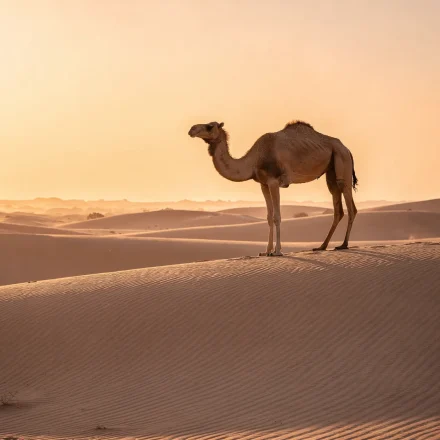
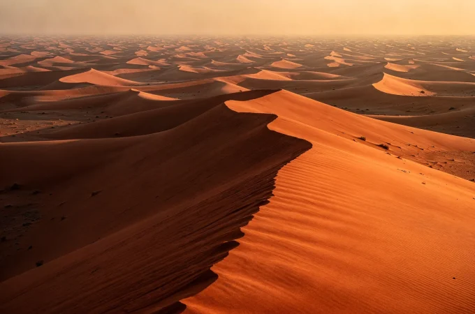
Britannica’s entry on the Rub’ al-Khali puts its area at roughly 250,000 square miles, about 650,000 square kilometers. It spans a structural basin mainly in southeastern Saudi Arabia, with lesser portions in Yemen, Oman, and the UAE. That makes it the largest continuous area of sand on Earth, with individual dunes reaching up to 250 meters. See the UAE’s coverage of the Rub’ al Khali for this desert’s Emirati stretch in full trip-planning depth.
Wadi Rum

Jordan’s Wadi Rum, nicknamed “Valley of the Moon,” is a dramatic sandstone-and-granite valley, and a real-world example of the erosion processes covered in Wadis & Flash Floods. Its towering rock walls and canyons made it a well-documented filming location, too, for numerous productions set on alien or otherworldly landscapes.
The Negev

Britannica’s entry on the Negev confirms it covers roughly 4,700 square miles, about 12,200 square kilometers. That accounts for some 60 percent of Israel’s territory under its 1949 to 1967 boundaries, a proportion that makes it one of the more geographically dominant national deserts in this atlas. The Negev is also a well-documented example of desert agriculture and water-management innovation, given the region’s long history of adapting settlement to arid conditions.
Khor Al Adaid (Qatar)

Qatar’s Khor Al Adaid is a genuinely unusual feature: an inland sea where ocean water reaches deep into surrounding desert dunes through a natural inlet. The result is a striking meeting point between true desert terrain and open water, within a single landscape.
Why This Region Carries Outsized Weight in This Atlas
Three of Desert Booker’s five launch countries sit within or near this region: the UAE, Oman, and, through Morocco’s broader Sahara connection, the wider Arab world. That makes the Middle East’s desert geography especially relevant to this Hub’s current trip-planning coverage, beyond its purely encyclopedic interest.
A Region Where Several Formation Mechanisms Overlap
Some continents have one dominant mechanism that explains most of their local desert geography. The Middle East isn’t one of them. Instead, it shows several mechanisms operating in close proximity: the Rub’ al Khali’s subtropical high-pressure origin, Wadi Rum’s water-and-wind erosion history, and the Negev’s position at the edge of a broader arid transition zone. All three sit within a relatively compact geographic area. That makes this one of the most instructive single regions in the entire atlas for seeing multiple formation mechanisms side by side, rather than reading about each in isolation.
How Politics and Borders Intersect With This Geography
Several of the deserts profiled here span modern national borders that postdate the desert’s own geological history by a considerable margin. The Rub’ al Khali alone touches four countries, for example. That’s a reminder that this atlas’s continent and region groupings reflect convenient geographic organization, not any strict alignment with political boundaries. This pattern recurs throughout the atlas: a desert’s name and identity typically predates, and often ignores, the modern political map drawn across it.
Related Topics
Wadis & Flash Floods · World Deserts Atlas · How Deserts Form
FAQ
Is the Rub’ al Khali the largest desert in the world?
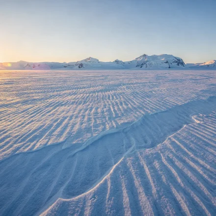
No. It’s the largest continuous sand sea specifically, which is a distinct superlative from “largest desert overall.” That title belongs to the polar deserts, Antarctica and the Arctic.
How does an inland sea exist within a desert, as in Qatar’s Khor Al Adaid?
A natural inlet connects it to the open ocean, allowing seawater to reach deep into the surrounding dune landscape. It’s a distinctive geographic feature, in other words, not a separate freshwater oasis system.
How much of Israel’s total land area does the Negev actually cover?
According to Britannica, roughly 60 percent under the country’s 1949 to 1967 boundaries. That makes it proportionally one of the most dominant national deserts covered anywhere in this atlas.
Why does this region get particularly detailed coverage in this atlas compared to some other continents?
Three of Desert Booker’s five current launch countries sit within or near this region. That gives its desert geography direct relevance to this Hub’s existing trip-planning content, beyond general encyclopedic interest.
Do the deserts covered here all share the same formation mechanism?
No. Several distinct mechanisms operate within this relatively compact region, from the Rub’ al Khali’s subtropical high-pressure origin to Wadi Rum’s erosion-driven landform history. That mix makes the Middle East one of the more mechanistically varied regions in this atlas.